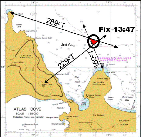
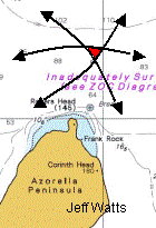
All RADAR sets have the ability to measure angles and distances. You can then draw these onto a chart to plot your position.
| Plotting a position with three bearings | Plotting a position with three ranges |
|---|---|
 |
 |
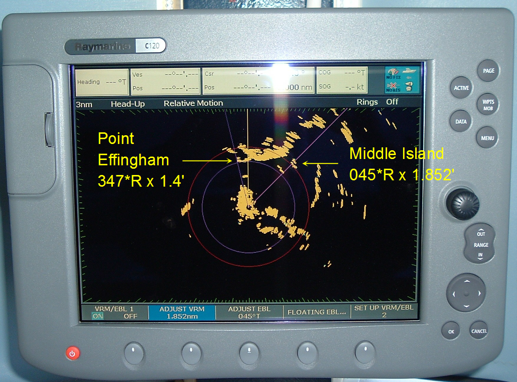
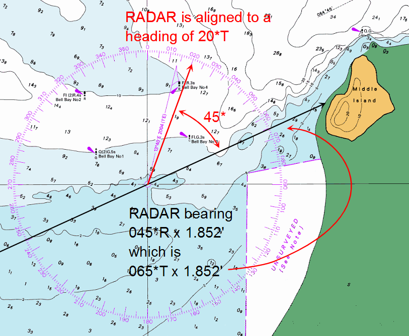
Middle Island is shown below as being
Point Effingham is shown below as being
 |
All Relative bearings must be converted into True before they can be plotted onto a navigational chart.
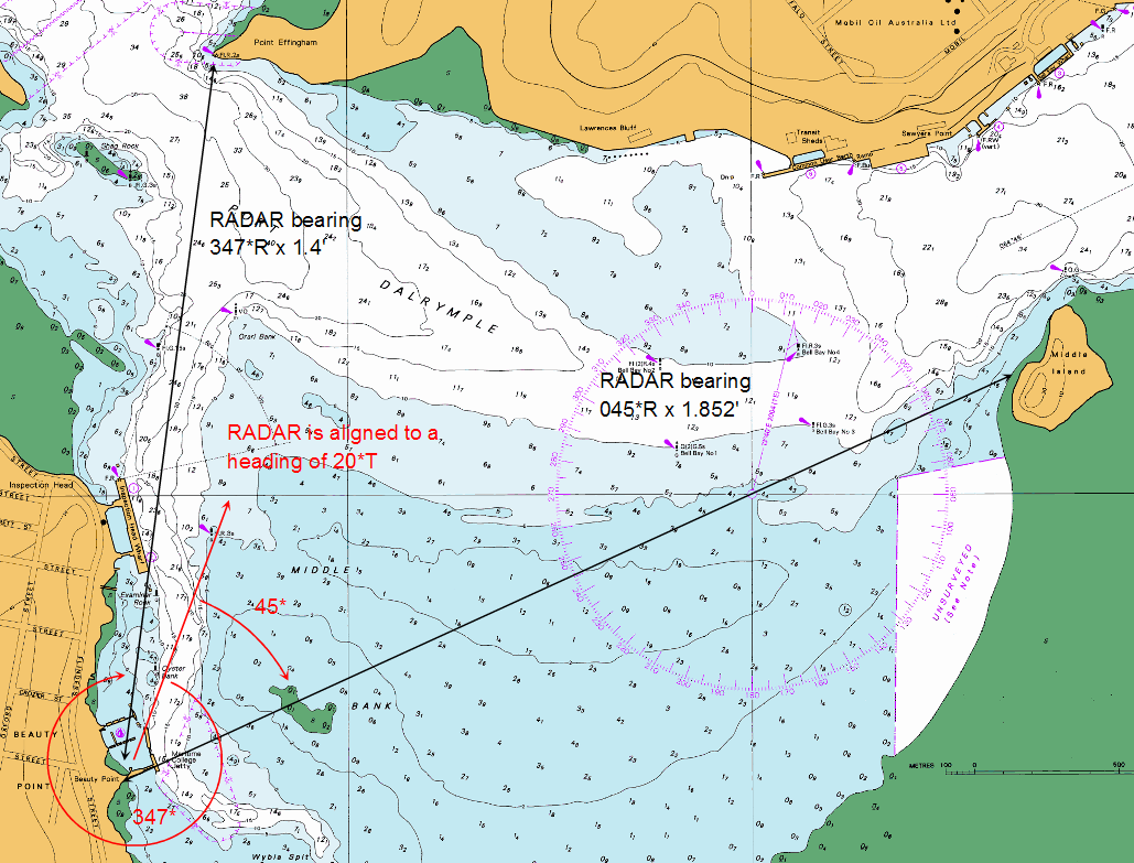
To convert Relative bearings to True, do this:
| Object | Middle Island | Point Effingham |
|---|---|---|
| Relative bearing + | 045° + | 347° + |
| True Heading | 020° | 020° |
| = True Bearing | 065° | 367° = 007° |
 |
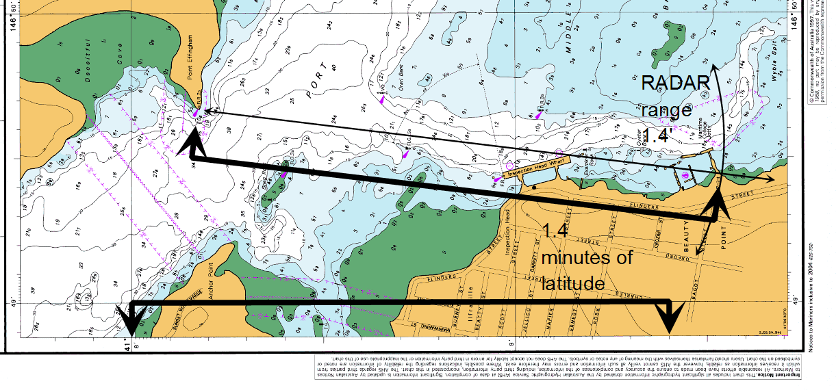
The distance of 1.4 nautical miles can be measured off the latitude scale as 1.4 minutes of latitude, and scribed from Point Effingham with a compass or divider:
Click here to go to an exercise about using the RADAR to find the range and bearing of some objects you can see from the RADAR room.
Click here to return to the main RADAR menu.